It’s Saturday morning, and I’m driving up to Dumfries & Galloway for a weekend of two walks. We’re in the middle of storm Babet apparently… eastern Scotland is flooded, but here in the south west the sun is shining, and the downpours elsewhere are only apparent if you turn the radio on.
I park up in the small car park at Balcary Bay, and lift my folding bike out of the boot, sling on my rucksack and hop onto the bike for the ride to Palnackie, only to discover both tyres are very spongy, almost flat. All good cyclists are prepared with a pump of course… but I’m not one of those. I’m a very poor cyclist.
After 4 miles of grinding along the road, feeling every bump, I arrive at the layby a couple of miles south of Palnackie (at Chapelyard) where I finished the last section, and lock my bike to a young tree. It looks a bit abandoned there, but I think it’ll be OK.

The more observant may notice that I’m on my old bike, the non-electric one. My plan for tomorrow requires two short bike rides with a bus journey in between, but the electric bike is a bit bulky and heavy to carry on the bus, so I decided to bring this one instead. It’ll turn out to be a bad decision.
Right, here we go, starting with a mile of walking southwards down the A711, not the nicest walking, but the sun is out (mostly), which makes me and the cows pretty laid back and happy.

I pass the driveway to Orchardton Castle, that’s the one that turned out not to be the prize in a raffle.

Just a little further on, a lane is signposted to Red Haven beach and Torr Point, which is where I want to go. So I follow it.

The lane skirts a soggy field. I’m expecting to get wet feet today. We might not have had a real storm this side of the country, but it still rained all day yesterday in Manchester, and quite a bit up here too. It’ll take a whole lot more of this sunshine to dry up that much water.

Rounding a corner at the top of the lane, another signposted track leads through the woods.


There are two peninsulas here. Torr Point is at the head of this one, but just to the north-east of it is a smaller one, ending at Girvellan Point. I’ve decided to circumnavigate both. However, Girvellan doesn’t have any paths to speak of, so I’m expecting a bit of a battle and wet feet. A few hundred yards along the track, I take a left through the trees and over an old dry stone wall, keeping to the right of the fence.

Initially the going is easy enough, but the trees thicken, and the ground gets soggier. I come to a small stream and leap across, only for my take-off foot to sink a little in the mud, causing my landing foot to fall short of the opposite bank. Well, I guess I was expecting it at some point today, so it might as well be now.
Eventually, I emerge from the thicket onto a faint track, which had I chosen to go left of the previous fence would have led me through a nice dry field. Oh well, too late now. I’ll remember it for the way back. The track stretches out over the marshy land at the head of Craigrow Bay, and up a slope onto the Girvellan peninsula proper.


There are only faint tracks, maybe made by sheep or cows. Must be sheep, cows would be too big to get through this. Just as I think I’m getting somewhere I end up in a thicket and have to battle my way through, or around.

Someone’s been here before though…

I arrive at a small beach, covered entirely by shells. It’s really quite weird, no sand, just millions upon millions of shells.


Clearly fishermen or boaters use this beach, as there’s a small jetty. I crunch my way across the beach so I can walk to the end of the jetty. I just feel I have to, it’s not going to make it into my collection of piers, it’s just an OCD thing for me!

Continuing southeast, towards Girvellan Point, I pass a couple more beaches made up of cockle shells. Why did they all come here to die? Or why should so many empty shells get washed up here? Who knows. I searched online but can’t find an answer.


I eventually battle my way through the undergrowth to get to Girvellan Point. Out to sea is Hestan Island, which you can walk to at low tide, but not now.

I turn around and make my way back through the thicket.

This time I take the route on the other side of the fence, and manage to keep drier feet.

I rejoin the path, and turn left, heading towards the head of the Torr peninsula. This is much easier going. A pile of plastic tree protectors are left gradually breaking down into micro-plastics.

In an effort to protect the trees from wild animals, they’ve polluted the ground for the next few hundred years. I think about what we are trying to achieve when we perform “ecological improvements”. When we say we are “destroying the Earth“, what do we mean? The Earth doesn’t care whether there are trees on it, or indeed humans, but of course, we do. I guess what we want is to make the Earth suitable as a place for us as a species to live. The earth, and life in general, will survive whatever happens, but we might not. My mind drifts off to less ethereal things like soggy socks, and chocolate, which I don’t have any of, and I reach no useful conclusion.
The path gradually narrows, twisting, dipping under fallen trees, until near Torr Point I come across a brick and stone well, filled with oily-looking water. A sign explains that it was a tar pit for dipping fishing nets in. Whether it is still used I don’t know, but it’s still tarry.


The path opens out onto another shell beach at Torr Point. Someone has strung up a rope swing from the boughs of a tree. Elsewhere shells have been threaded onto the shoots of a bush, which have since grown to trap them like white flowers.


I stop for some lunch. Not a bad spot at all.

The return path runs more westerly, up a slope and opens out into fields. Just like at Glen Isle, wooden huts have been built at the edge of the field. Did they have planning permission? I’d like to know the story behind all these huts.


I take a diversion to visit Red Haven beach. This beach does have sand, red sand, which the cockles presumably don’t like, as there are very few to be seen here. The waves lap ever so gently onto the beach in this sheltered cove.


A track leads down to a farmhouse, then I take a path left across the salt marsh at the head of Auchencairn Bay.


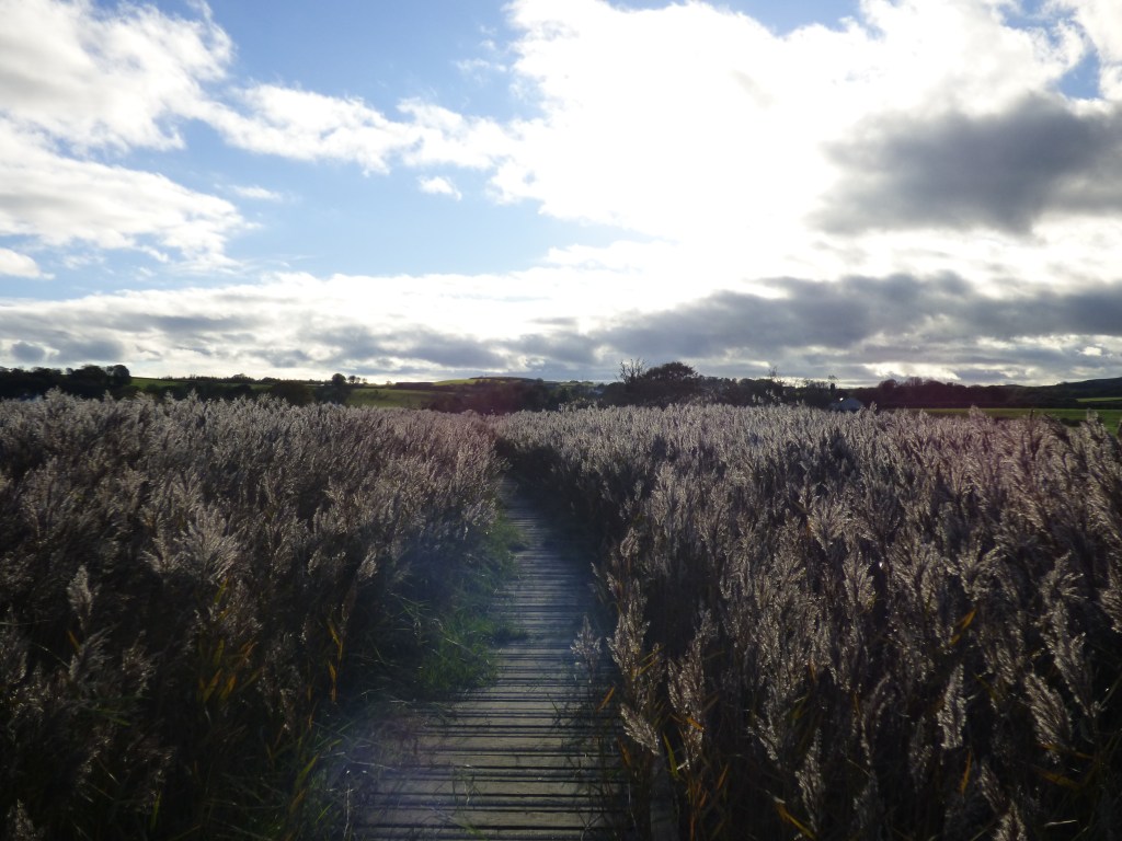
The ground is marshy, and I walk on the washed-up reeds to avoid sinking into the mud, until a wooden boardwalk makes things much easier.

The boards appear to be nailed to the underside of the rails, which means many of them have come loose and are hanging down. It’s not precarious, but I have to watch my step.


I pass a gorse bush from which emanates the heady scent of Lincoln biscuits. Hmmm, honey and coconut, neither of which appear to be ingredients of the biscuits.

Gorse is one of my favourite flowers, but one of my least favourite obstacles…

The path leads to a small but deep stream. I see a footbridge across it and I’m about to step onto it when I realise it’s a trick. The grass has grown over to make it look like a bridge… cheeky! Some planks have been laid nearby to make crossing easy enough.

I hear a commotion above, and look up to see a flight of geese off on their winter holidays. I ponder how evolution has produced a species that argues amongst themselves even more than humans. Wouldn’t they use less energy if they got along better?

A red hue attracts my attention… it’s a row of hawthorn bushes. It’s been a good year for hawthorn. When it was in flower the trees behind my house were completely shrouded in white, and now they bear huge numbers of bulging red berries.


I remember an episode of a bushcraft programme with Ray Mears where he made tea from them. After weeks of living off hawthorn berries, nettles and blackberries, he clearly enjoys a cheeseburger or three on his return to civilisation. There’s no way he got that shape on bush food.
Although they are edible, they’re not worth eating, unless you’re starving. They taste of nothing, with a big seed in the centre.
The path continues into a field and runs alongside the river into Auchencairn. I briefly consider crossing via a cattle water gate over the water, but it looks risky, like that greasy pole game they used to have on It’s A Knockout. There’s a footbridge just a hundred yards further upstream anyway.


Crossing the footbridge brings me into the Auchencairn Millenium Garden. It’s a nice little place, next to the burn, full of autumn colours.


The gate out of the garden leads onto Shore Road, a lane leading along the edge of Auchencairn Bay.

Auechencairn Bowling Club have a single green, beautifully flat… lucky for them as their roller’s been out of action for some time…


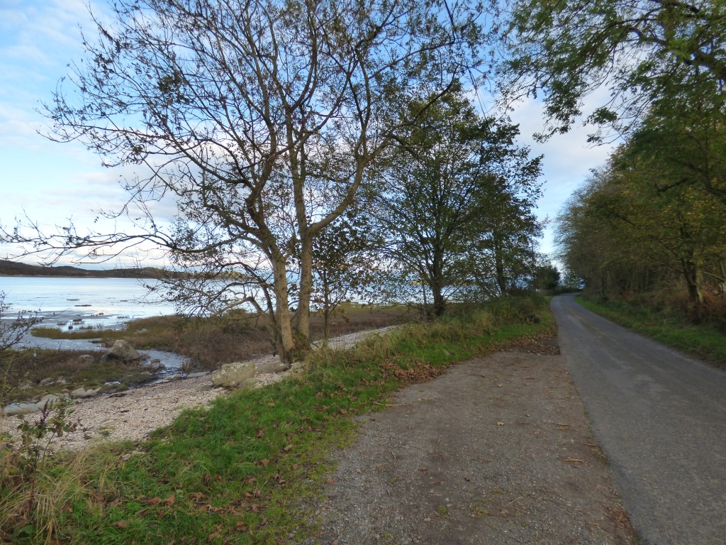
The lane continues past several tiny beaches, again covered in cockle shells, with moody views through the trees over the bay.


Towards the end of Shore Road lies Auchencairn Tower, a square four-storey tower house built in Victorian times as a gatehouse to Auchencairn House. It’s now a B&B.

A few hundred yards beyond the tower I pass the entrance to the Balcary Bay Hotel. A sign says “Non-residents welcome“, but that was before they saw the state of me after my travails. It looks quite posh so I don’t impose, but pass on by to the public car park and my car.
This walk was completed on 21st October 2023 and was 7.9 miles long.
Here’s the real-time recorded map of my actual route, which you can pan and zoom around:

Good to see you back. I may exaggerate but have memories or impressions of Ray Mears producing a 6lb. felling axe from his backpacking kit and using a cast iron cannibal pot to cook his food on an open fire. And what about all those ingenious methods of making fire when we now have gas cigarette lighters, a revelation after years of suffering soggy safety matches.
I called into that hotel before wild camping up on Balcarry Point. Dishevelled and muddy, they still allowed me in for a beer. It was posh and the beer cost a fortune!
Always good to catch up with your exploits. Those shell beaches are amazing, and I want a night in that BandB tower.